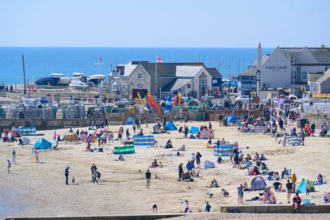
THE Met Office has revealed its forecast for the Easter period as Brits pack out beaches.
Last weekend a whopping 21 million Brits hit the road for the holidays.
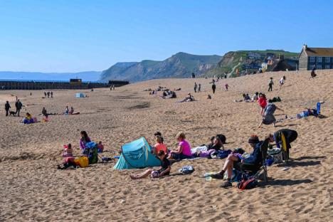
While we have seen glorious sunshine across much of the UK, “a shift” is expected to follow.
Next week we will begin to see some “fresher conditions” in the lead up to
A “cold front” progressing southeast could bring some “rain and showers”.
In addition, there is “a low risk” of heavier, possibly coming into the country from the south for a time early in the period.
However, this may well pass to the east.
What we can expect is to kick in about halfway through the month.
Strong winds could develop in some areas, particularly in the south and west.
At this time, temperatures are likely to return closer to normal.
When April draws to a close, may persist with showers or longer spells of rain in places.
However, high pressures might return early May and with them, warmer temperatures.
Although it is important to note, these conditions are subject to change.
On the brighter side, many areas have recorded theirof the year so far this week.
and Northern both recorded theirs on Tuesday, April 8, with a chance of these figures being surpassed further later this week.
Perthshire reached 20.9C while Castlederg reached 19.4C.
While temperatures should remain settled this week, those living along North Sea coasts could receive warmer temperatures than usual.
On Thursday, temperatures could reach a pleasant 23C in eastern Scotland and northeast .
However, the “high pressure” that has provided such warm is expected to move out over the coming weekend.