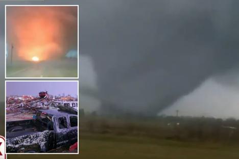
WATCH the moment an massive “wedge” tornado carves a path of destruction through towns and fields.
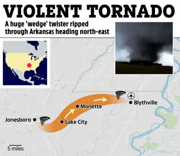
The violent twister touched down in Arkansas and rumbled towards Missouri, swallowing electric cables and sending terrified locals fleeing.
At least four people are known to have died in neighbouring Tennessee and Missouri as extreme winds and dozens of tornadoes battered the wider region.
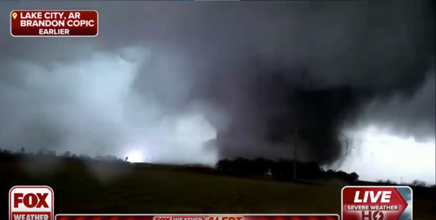
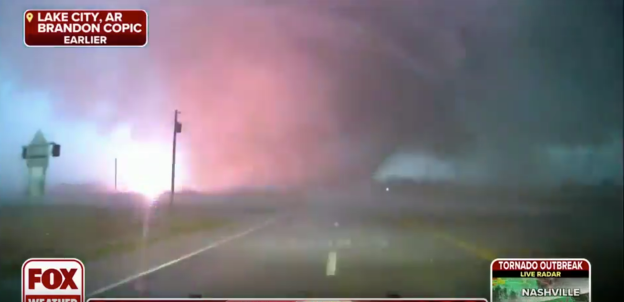
Dramatic footage shows a dense grey wedge blotting out the sky.
Huge clouds are dragged into the centre, which swirls down to the ground.
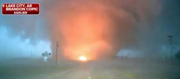
Bright fiery flashes spark amongst the dark mass as electricity cables are torn from their masts.
Debris can be seen flying around the tornado as it smashes through trees and buildings.
The storm was first spotted just east of Jonesboro, before it tore a northeasterly path towards the state line with Missouri.
Winds of almost 200mph accompanied the violent vortex, adding to the carnage.
Brandon Copic, a storm chaser for Fox, who braved an approach, said: “It’s coming very close to me. There is an audible roar with it right now.”;
Weather experts have estimated it was at least a four on EF scale, with some signs of being even stronger.
A category four storm is characterised as a violent with wind speeds between 166 and 200 mph, capable of causing catastrophic damage, levelling well-built structures, and tossing vehicles and large objects.
Local authorities urgently advised residents to seek shelter as the twister bulldozed through.
Sarah Huckabee Sanders, the governor of Arkansas, said storms had wreaked havoc across the state and the emergency services were helping injured locals.
At least two dozen homes were reported to be seriously damaged in Monette and Lake City, with seven people being treated for injuries
The Westside Consolidated School District, which serves schools in the northeast of the state, said that Thursday's classes had been called off.
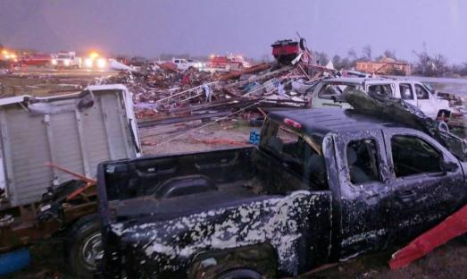
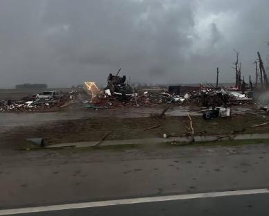
And power monitoring websites reported that at least 40,000 had lost electricity as of Wednesday evening.
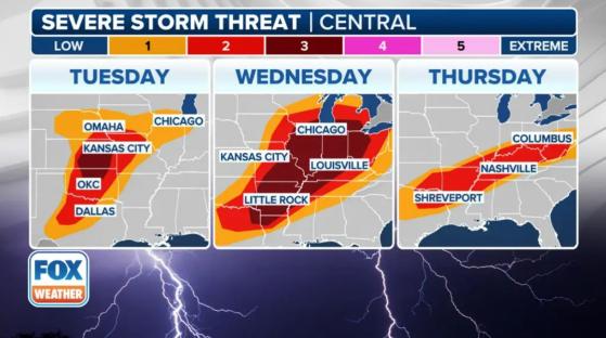
The Arkansas tornado featured in the video was one of dozens that scarred the central US on Wednesday evening and overnight.
Missouri and Tennessee were also particularly hard hit, with at least one and three deaths in those states respectively.
Almost 300 tornado warnings have been issues across 15 states since Wednesday morning.
Following the worst of the weather, dangerous flash flooding is still threatening many areas, including Nashville.

